Master UPSC with the Right Books, Right Here. Your Complete UPSC Preparation Starts with the Perfect Read. Crack UPSC Smarter with Expert-Selected Study Materials.

Remote Sensing, Aerial Photography, GIS & ICT by Balaji Surne

A comprehensive bilingual (Marathi + English) question bank by Mahesh Shinde, designed to master MPSC grammar with practice-driven learning.

Download the sample pdf here.

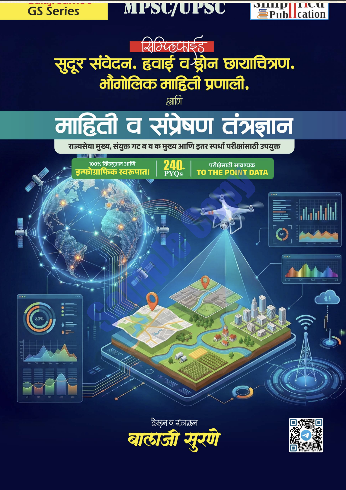
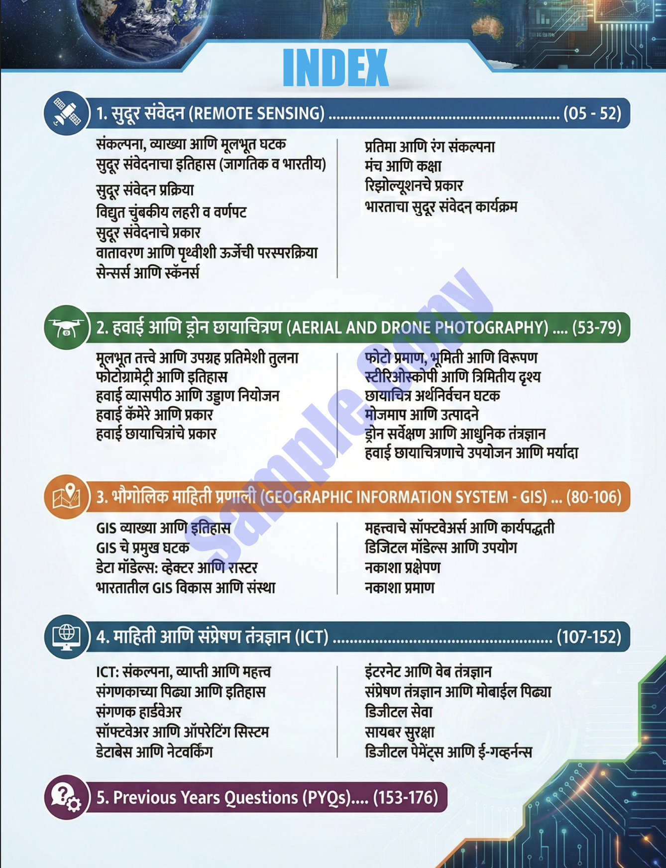
Book Name: Remote Sensing, Aerial Photography, GIS & ICT
Publication: Dnyandeep Academy
Author: Balaji Surane
Edition: 1st, 2026
Language: English, Marathi
No: Of Pages: 199 pages
Product Dimension (in CM):  14 x 11 x 1 cm
Weight: 500gm
ISBN No: 978-81-999187-6-4

-11% Original price was: ₹450.00.Current price is: ₹400.00.

Guanranteed safe checkout

Reviews

There are no reviews yet.

Be the first to review “Remote Sensing, Aerial Photography, GIS & ICT by Balaji Surne”

Your email address will not be published. Required fields are marked *